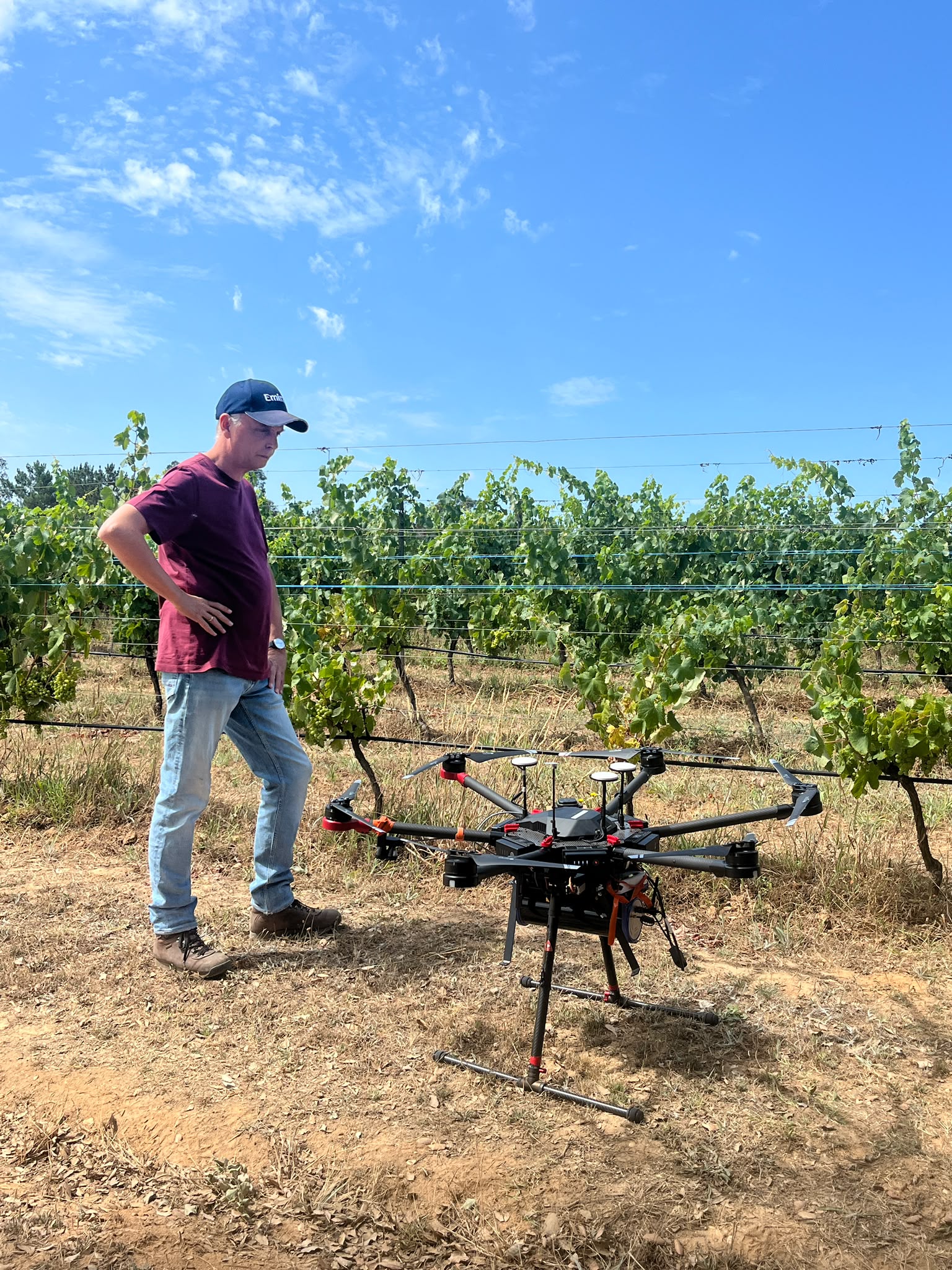
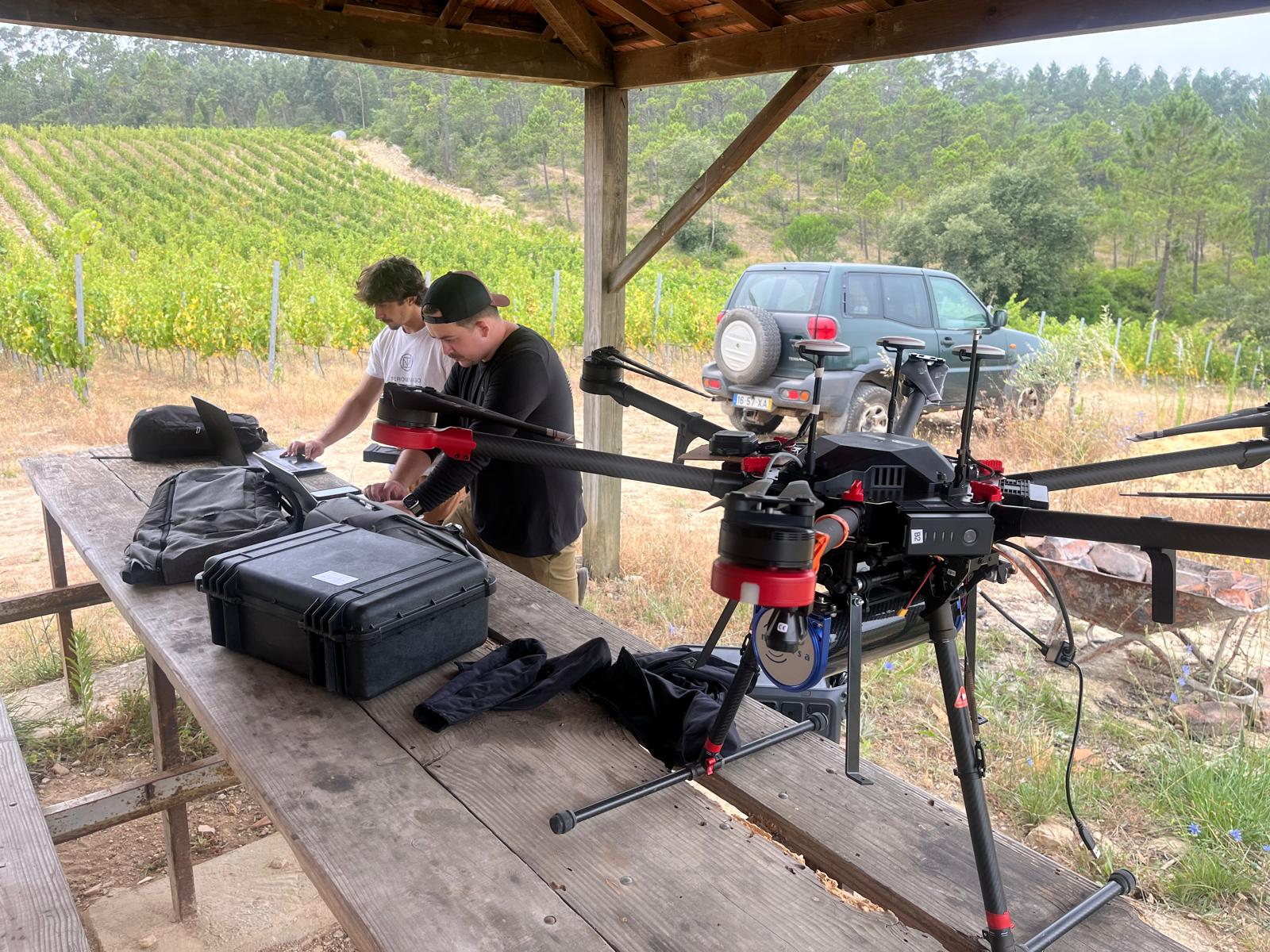
A single drone flight over your vineyard maps what the soil is made of — how stony, how clay-heavy, and how naturally fertile — across every square metre. No digging, no waiting weeks for lab results.
Get in touch →
Walk from one end of a vineyard block to the other and the soil underneath rarely stays the same. Some patches are stonier and drain fast; others hold clay that keeps water and nutrients around for longer. That difference quietly shapes vine vigor, disease pressure, and how a block ripens — long before you'd notice from above ground.
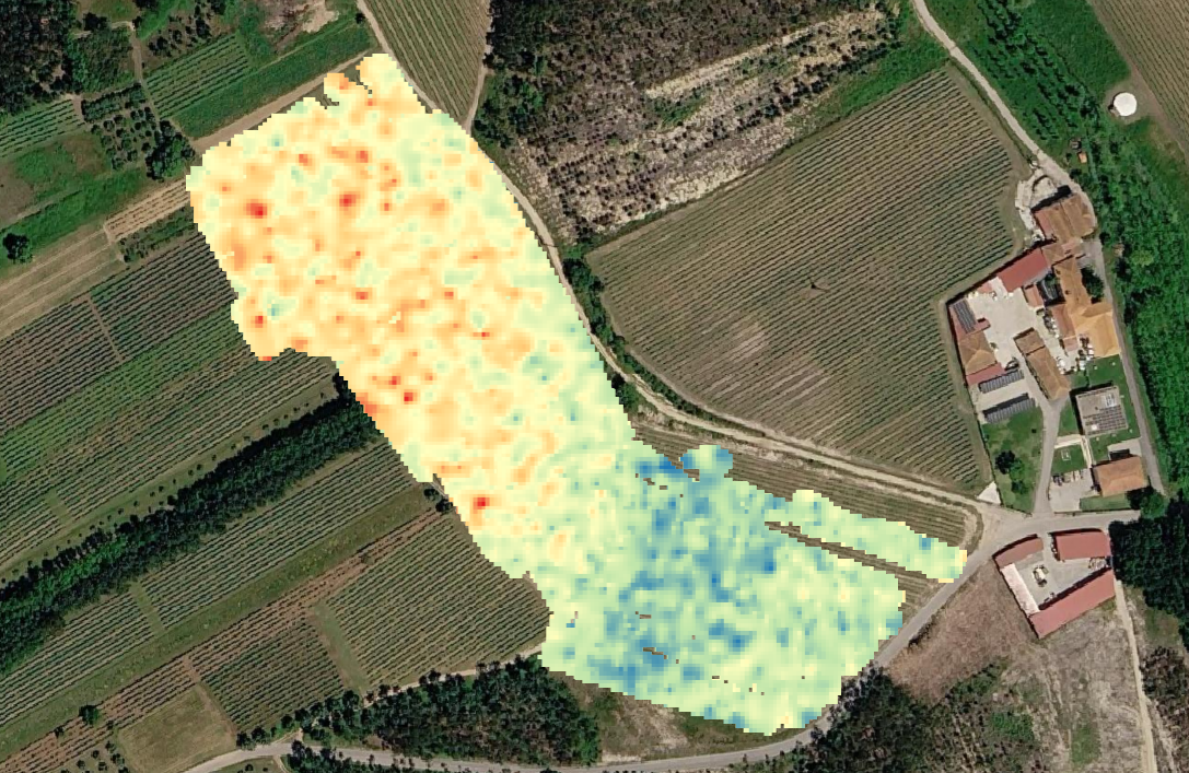
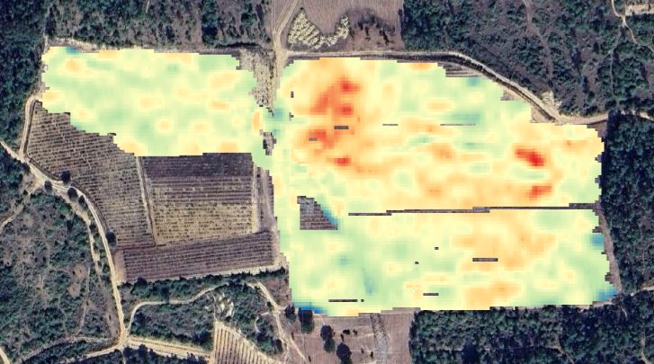
A drone can pick up the same faint, completely natural signal every soil gives off, and turn it into a detailed map: how much of the ground is stone versus clay, and where natural potassium — a key nutrient for vines — is concentrated. It's the same underlying idea as a soil lab test, just covering the whole vineyard in one flight instead of a handful of dug-up samples.
What this tells you
Where the ground drains well and where it stays wet — useful for deciding where fungal disease pressure will be worst in a damp spring. Where natural fertility is already high, so you don't over-fertilise it, and where it's low, so you don't under-serve it. And, for new plantings, which parts of a plot are actually suited to vines before you commit years of growth to finding out the hard way.
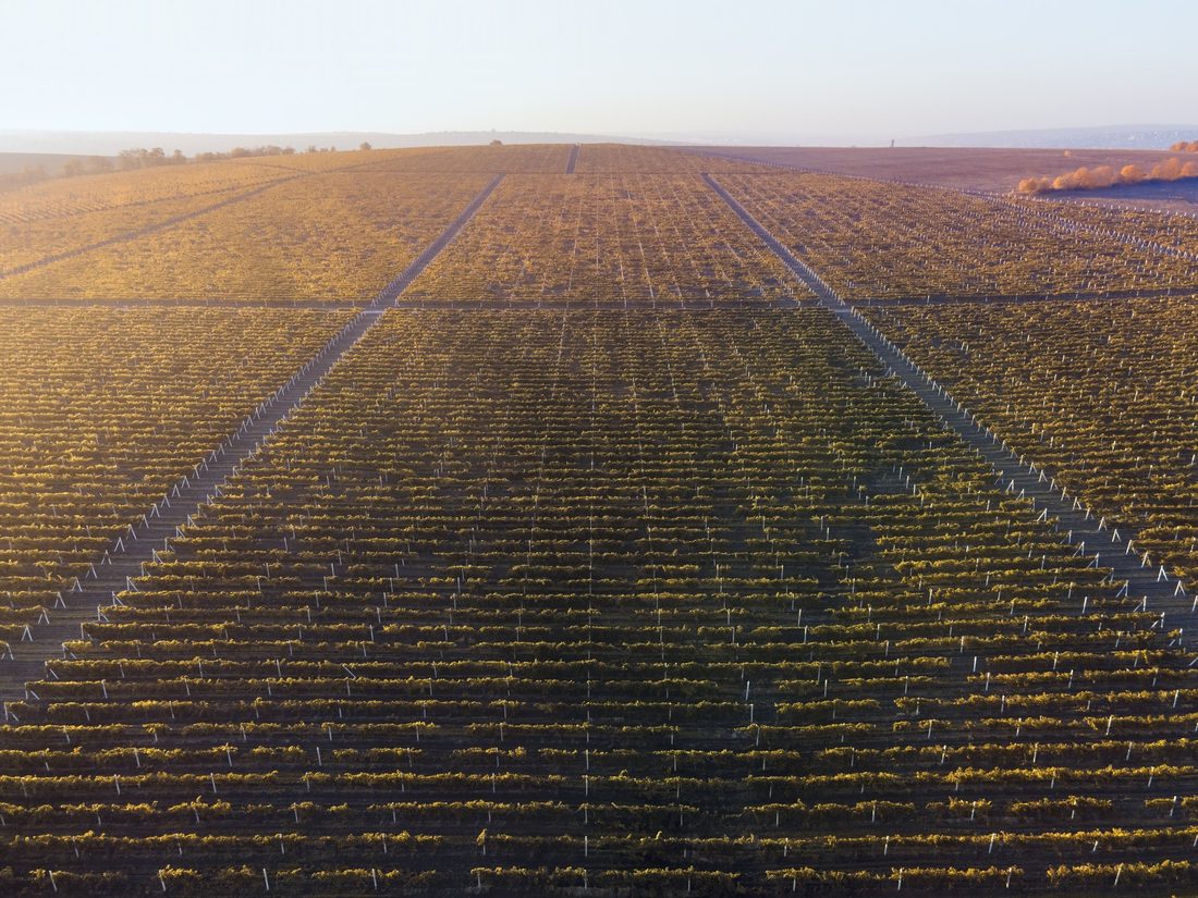
A continuous map of stone, clay, and natural fertility across the whole vineyard — not just a handful of sample points.
Target supplementary feeding to the zones that actually need it, instead of applying the same amount everywhere.
Spot the wet, clay-heavy pockets most likely to favour fungal disease before a damp season turns them into a problem.
A drone flight covers a whole property for a fraction of the cost of conventional soil sampling — no pits to dig, no samples to send to a lab, no weeks of waiting for results.
Flying as low as 25 metres, the drone can read the soil signal even through tree or scrub cover — so you can evaluate a wooded plot's potential for vines before spending anything on clearing it.
Real vineyards, real soil variability — here's who we're working with.
An established Bairrada producer, known for its Baga-based reds and long track record with the region's clay-limestone soils.
luispato.com →
A Souselas estate dealing with heterogeneous clay-limestone soil and high Atlantic humidity — where drainage and phytosanitary decisions are especially soil-dependent.
priorlucas.pt →
Left: Luís Pato's soil map, still being flown and processed. Right: two soil-variability readings across Prior Lucas's Souselas plot, including potassium concentration — warmer colours mark higher natural concentration, cooler colours mark the opposite.
No boots-on-the-ground sampling, no weeks-long lab turnaround.
A single flight, as low as 25 metres, covers the whole property — including wooded or overgrown ground that hasn't been cleared yet, and terrain that's awkward to sample by hand.
The natural signal the ground gives off is translated into stone/clay composition and natural fertility zones.
A lasting reference for planting, drainage, and fertiliser decisions — the ground doesn't change from one week to the next.
We're taking on new pilot sites alongside Luís Pato and Prior Lucas.
Get in touch →