Beira Interior · Pinhel

You can't turn a tap here, but you can still see the stress coming.

Most farms around Pinhel and the wider Beira Interior are dry-farmed, on high granite and schist slopes with a harsh, dry climate. There's usually no irrigation to schedule, so TeroCrop isn't about telling you how much to water. It's about telling you, early, what kind of season your crop is heading into.

Get in touch →
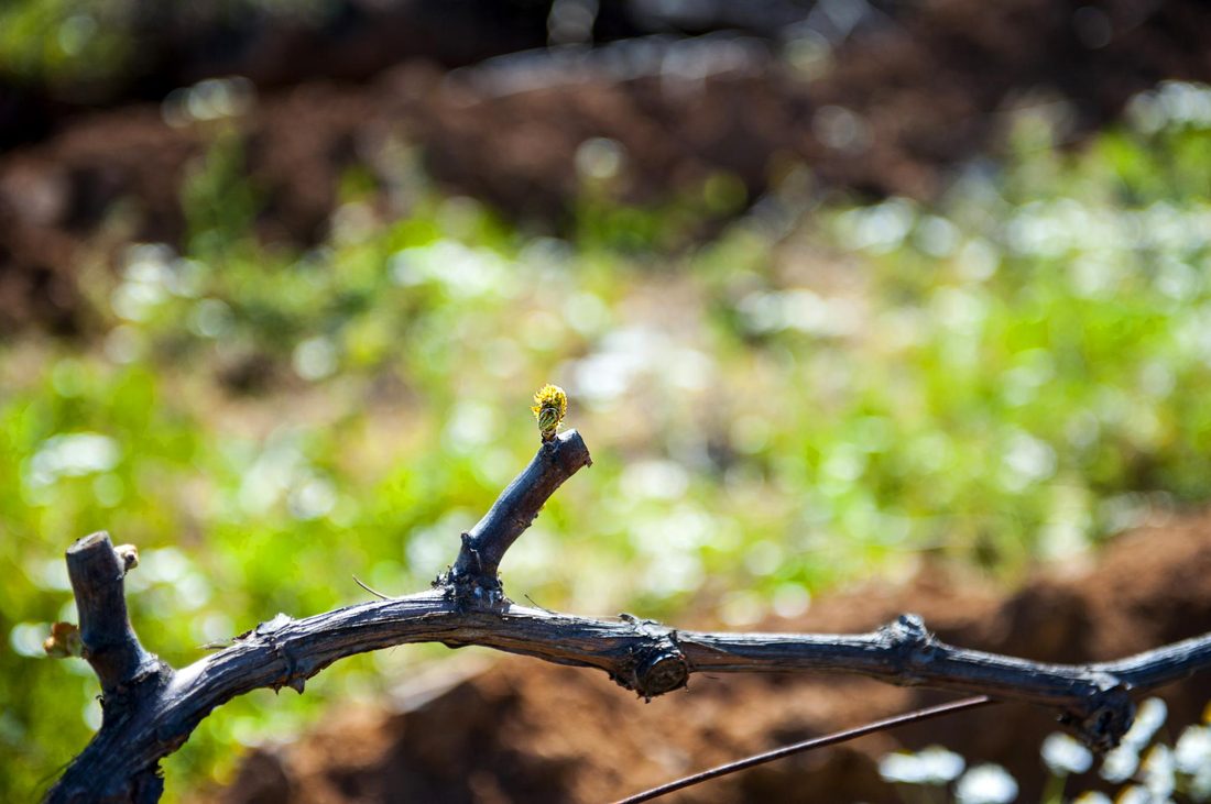
Dormant, hand-pruned vine with a single bud breaking

No tap to turn, a season to read instead

Without irrigation, this number doesn't tell you how much to water, there's nothing to turn on. Its value is in reading the season ahead of time: how fast your crop's water reserve is draining, and when real stress is likely to arrive.

That's useful in ways that have nothing to do with a tap: timing canopy work like leaf removal to manage how much water your crop demands, judging harvest timing and the ripeness you can expect, and spotting early in a dry year that yield or quality risk is building, while there's still time to plan around it.

Not a scheduling tool: think of it as an early warning and planning number for a farm where the weather, not a valve, decides how much water your crop gets.

What this replaces

Instead of only finding out how tough a season was once the crop shows it, smaller fruit, stalled ripening, an unplanned early harvest, you get a running read on crop water stress building through the season, plot by plot.
Built for dry-farmed land

👁️

See the stress before the crop shows it

A running picture of how fast your crop's water reserve is draining, ahead of visible signs.

🗓️

Time canopy work & harvest with more confidence

Ground decisions like leaf removal and picking dates on what the crop is actually experiencing, not just the calendar.

🌾

Plan for a dry year, not just react to one

Spot a tough season building early enough to plan around it, for yield, quality, and everything downstream of harvest.

From satellite pass to a read on the season

No sensors to install, no irrigation system required.

1

We watch your plots from space

Satellite imagery covers your hillside land automatically, day after day.

2

We turn that into a water-use number

Translated into a straightforward evapotranspiration estimate for your plot's soil and slope.

3

You get an early read on the season

A plain-language sense of how much stress is building, and what that's likely to mean by harvest.

Curious what this looks like for your land?

We're expanding region by region, let us know if Beira Interior should be next.