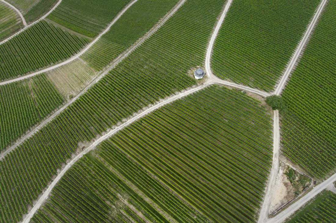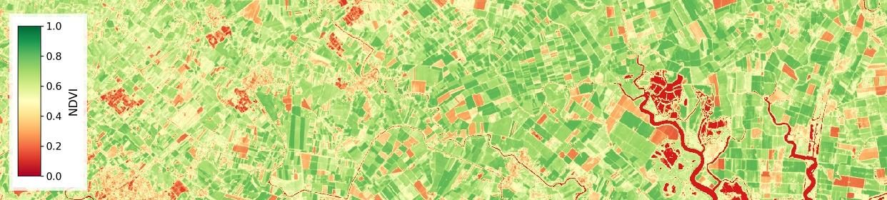
grapestone brings together three ways of reading a vineyard from the air: what the ground is made of, how much water the vines are using, and how well they're actually growing. Three separate questions, three separate answers — each one useful on its own.
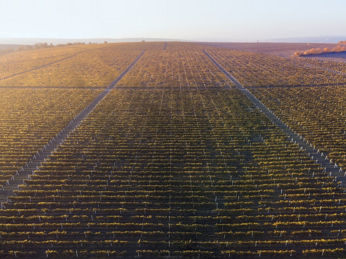
Each service answers a different question about your vineyard. Use one, or all three together.
A drone flight over your vineyard reveals what the soil is actually made of — how much is stone, how much is clay, and where natural nutrients are concentrated. That tells you where water drains away and where it collects, and where the ground can support vines well and where it can't — before you plant, replant, or decide where to focus fertiliser.
See how soil study works →
Satellite imagery turns into a simple, plot-level estimate of how much water your vines are using — updated regularly through the growing season. Where you irrigate, it tells you how much and when. Where you don't, it tells you what kind of season is building, early enough to plan around it.
See how evapotranspiration works →
Satellite images reveal which parts of the vineyard are thriving and which are falling behind — often weeks before it's visible on foot. We also separate the vine canopy from the ground between the rows, so what you see reflects the vines themselves, not the bare soil or grass around them.
See how plant health monitoring works →Think of the three services as answering questions on different timescales. Soil study is a one-time map — the ground doesn't change from one week to the next, so a single drone flight gives you a lasting reference for planting, drainage, and fertiliser decisions.
Evapotranspiration is a running weekly number — it tracks how much water your vines have actually used, so it's only useful if it's kept current through the season.
Plant health is an ongoing check-up — satellite images every few days show whether the vines are responding well to the water and soil conditions they're in, and flag the patches that aren't.
Used together, the soil map explains why a patch behaves differently, the water numbers explain what it's short of, and the vigor maps confirm whether it's working.
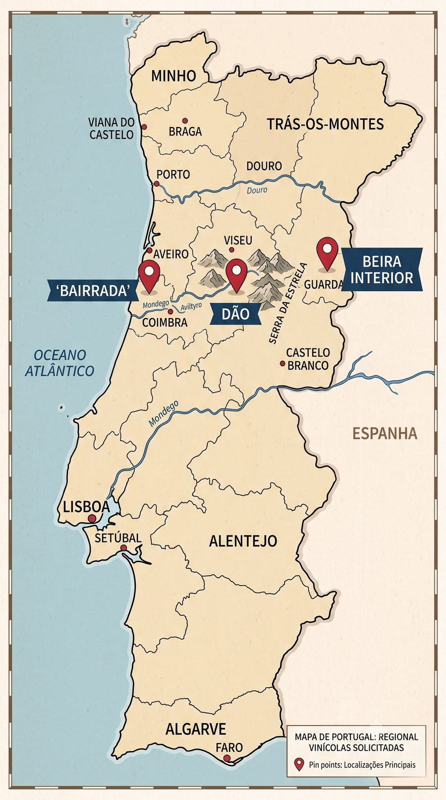
Currently active around Bairrada, Dão, and Beira Interior — expanding from there.
Start with satellite monitoring, add a full ground survey when you're ready — or the other way around.
Ongoing weekly readings through the growing season, covering both services 2 and 3.
The most thorough option — full soil mapping plus a high-resolution drone vigor scan and 3D terrain mapping.
Send us the vineyard's details — we'll reply with a proposal shortly.
Tell us how many hectares, which region, and what you're trying to figure out — soil, water, vigor, or all three. We'll get back to you with next steps.
Get in touch →